
Open Ground Resources is a small geophysical company managed by Alten du Plessis who has extensive experience in the application of geophysics to engineering and environmental problems. We are situated in South Africa and active there – however, we also work in other countries such as Malawi, Lesotho, Namibia, Ghana, Zambia, Zimbabwe, Mozambique, Tanzania, and Uganda, Congo, Guinea, Malaysia and Seychelles, Eswatini.
OUR MISSION
Improved site characterization by provision of accurate and cost-effective geophysical solutions using site-appropriate geophysical techniques.
OUR VISION
To become a preferred provider of geophysical solutions through innovative and sound application of geophysics.
OUR TEAM
The company currently employs four junior geologists and one senior geoscientist – their profiles are listed below for more information if needed.
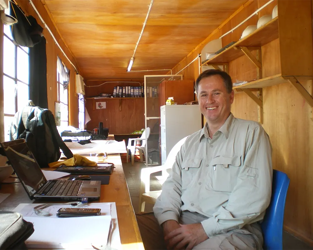
Manager and Senior Geophysicist
Alten du Plessis
Alten du Plessis started his career in geophysics with ISS International in 1996 where he was involved with the development and implementation of the RockRadar Ground Penetrating Radar system in the South African gold mining industry. In 2001 he started his own geophysical consultancy business focusing on servicing the mining, engineering, environmental and exploration industries.
He is proficient in the application of geophysics to map subsurface voids and anomalous ground conditions using techniques such as Ground Penetrating Radar (GPR), Gravity and Electrical Resistivity Tomography (ERT).
He also has extensive experience with the application of the MASW, Seismic Refraction and Electrical Resistivity Tomography techniques for Mining, Infrastructure and Power projects (hydro, wind, solar).
Recent projects include the Mpatamanga Hydro Project in Malawi, Lesotho Highlands Water Project – Katse Lake Tap Area, and various tailings dam sites in South Africa, Zimbabwe and Zambia for Anglo American, Harmony Gold Mine and First Quantum Minerals. Other specialties include cross-hole and down-hole seismic surveys for compressional and shear wave velocity measurements.
Geoscientist
Warren Miller
Warren was introduced to Open Ground Resources in 2022 and with over a decade of experience, he is a geologist specialising in structural geology, geophysics, and Earth Stewardship Science. I utilise techniques like Surface Mapping, Electrical Resistivity Tomography, Multi-Channel Analysis of Surface Waves, Seismic Refraction, Cartography.
Throughout my career, I have managed diverse teams and led strategic data initiatives, always prioritising safety and industry standards. My expertise in GIS has enabled me to create detailed maps and visualisations, making complex data accessible and actionable.
I am passionate about inspiring others and fostering a collaborative work environment. As a leader, I have promoted team growth and collective success, encouraging a spirit of collaboration and achievement. As a researcher, I have published several papers that integrate field observations with academic rigor.

My work demonstrates the value of combining individual expertise with strong team dynamics. I remain committed to advancing geology through innovative research and effective project management.
He has worked across Malawi, Tanzania, Zambia, Botswana, Zimbabwe, Uganda, South Africa, and Ghana, where he has led geotechnical mapping projects, geophysical surveys, and participated in academic research.

Geotechnician
Francois Bezuidenhout
Francois Bezuidenhout started his career in geophysics with Open Ground Resources in 2022, after completing his Degree in BSc. Environmental sciences with Geology and Geography at the North-West University (NWU-Potchefstroom).
He has gained experience in data acquisition and processing of most geophysical techniques, such as Electrical Resistivity Tomography (ERT), Multichannel Analysis of Surface Waves (MASW), Seismic Refraction (SR), Ground Penetrating Radar (GPR).
His skills and experience in the Geophysics world have been accumulated and sharpened through numerous completed outings on Mining, Infrastructure and Power Projects (hydro, bio and wind) across Southern Africa.
A large number of these projects spread across the nine provinces of South Africa and include foreign countries such as Zimbabwe, Zambia and Malawi.
A few of these projects include: Shurugwi, Zimbabwe – Anglo American mine, Zambia, Trident & Kansanshi – First Quantum Minerals mine, Mpatamanga Hydro Project in Malawi, Wind Farm Project in Cradock and Newcastle, Crocodile East dam project and more than a dozen tailings dam investigations on Anglo American and Harmony Gold mines. Apart from his Geophysics and Geology experience, he also possesses level 2 first aid training and has undergone Health and Safety Representative training.
Geophysicist
Sikelela Gomo
Sikelela Gomo started his career in geophysics with Open Ground Resources in 2025 after completing his Masters in Geophysics in 2019.
He is a field exploration geophysics trainee at De Beers Group with experience in survey planning, data acquisition, processing (in Geosoft), modelling (in ModelVision, UBC GIFTool, Res2DInv, Grav2DC, and Mag2DC) and interpretation of magnetic, gravity and DC resistivity data.
He has coding experience in MATLAB, working with spectral analyses and spectral correlation techniques, such as Wavelets, Fast Fourier Transforms, Cross-Spectral Density, Wavelet Semblance, etc. He has experience working at a drill site, where I assisted with monitoring drilling activities, doing core logging and taking physical properties of the drilled core.
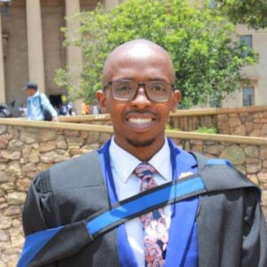
Overall, his interest also lies in Geotechnical geophysics, where he believes the future of Geophysics in South Africa lies. His utmost aspiration is to grow more as a geophysicist who uses his skill sets for humanitarian needs.

Geotechnician
Justin Calitz
Justin Calitz started his career in geophysics with Open Ground Resources in 2023, after completing his Honours degree in Environmental Sciences with Hydrology and Geohydrology. During this time, he has gained experience in the application of various geophysical methods in engineering applications.
He has gained experience in the use of Electrical Resistivity Tomography (ERT), Multichannel Analysis of Surface Waves (MASW), Seismic Refraction (SR), Ground Penetrating Radar (GPR), Gravity, and GPS surveying. Along with the gathering of this data, he has also gained experience processing the above-mentioned data.
He was a part of the Mpatamanga Hydroelectric Power Dam project in Malawi, having worked there for two and a half months.
Other projects he has been a part of include numerous tailings dam site projects across South Africa for Harmony Gold Mine in Welkom, Carletonville, Doornkop; Interwaste in Midrand; Dwarsrivier Chrome Mine; and Cullinan and Venetia Diamond Mines. He has also done GPR surveys around Benoni Gold Mine, Witbank, and Oranjeriet. Further projects also include Hydroelectric Power Dam projects near the Crocodile River and Lusikisiki, Windfarm projects near Newcastle and Cradock, a National Road extension project near Port Edward, a Water Tunnel in the Umkhomazi River, and a crosshole seismic survey at Koeberg nuclear power plant.
Apart from geophysical experience, he also possesses level 2 first aid training and has undergone Health and Safety Representative training.
Geotechnician
Ruan Saayman
Ruan Saayman started working at Open Ground Resources in January 2024 after obtaining his Honours degree in Geology at the University of Johannesburg. Ruan now applies knowledge from his degree in the workplace and gains experience in geophysics in return.
He has gained experience in data acquisition and processing of most geophysical techniques, such as Electrical Resistivity Tomography (ERT), Multichannel Analysis of Surface Waves (MASW), Seismic Refraction (SR), Ground Penetrating Radar (GPR) and GPS systems.
In addition to his experience gained in geophysics, he is also a registered candidate natural scientist with SACNASP and is building towards becoming a professional natural scientist.

He has completed a range of different projects across South Africa. His most noticeable project was his first international project in Guinea. Ruan and his team completed almost 9km of ERT and MASW surveys within a strict timeframe where they faced lots of challenges like extreme weather conditions, transport issues and language barriers.